Private Cape Tribulation & Mossman Gorge Day Tour
12 hours
From AUD $1880
I’m Theo and Cape Tribulation is the trip I push hardest on every traveller our autravel team meets in tropical north Queensland. Two World Heritage areas — the Wet Tropics Daintree Rainforest and the Great Barrier Reef — meet in a single beach here, and nowhere else on Earth do those two systems collide quite like this. There’s no electricity grid past the Daintree River. No mobile coverage at the cape. One ferry in, one road north, and a strict set of crocodile rules. Done well it’s the most memorable two days of any north-Queensland holiday. Done casually it can chew up a day in the car for not much payoff. We’re going to tell you how to do it well.
Cape Tribulation sits roughly 110 kilometres north of our Cairns guide and about 35 north of Port Douglas. The drive is sealed but slow — tight winding sections through the rainforest and one mandatory river crossing on the Daintree River cable ferry. From Palm Cove or the northern Cairns beaches, allow about two and a half hours one-way to the cape itself, plus stops. The ferry runs from before dawn to past midnight and is the only way across; queues on summer weekends can stretch over an hour, so leave early. Beyond the cape, the Bloomfield Track is 4WD-only and runs another 80 kilometres north to Cooktown — we’ll come back to that.
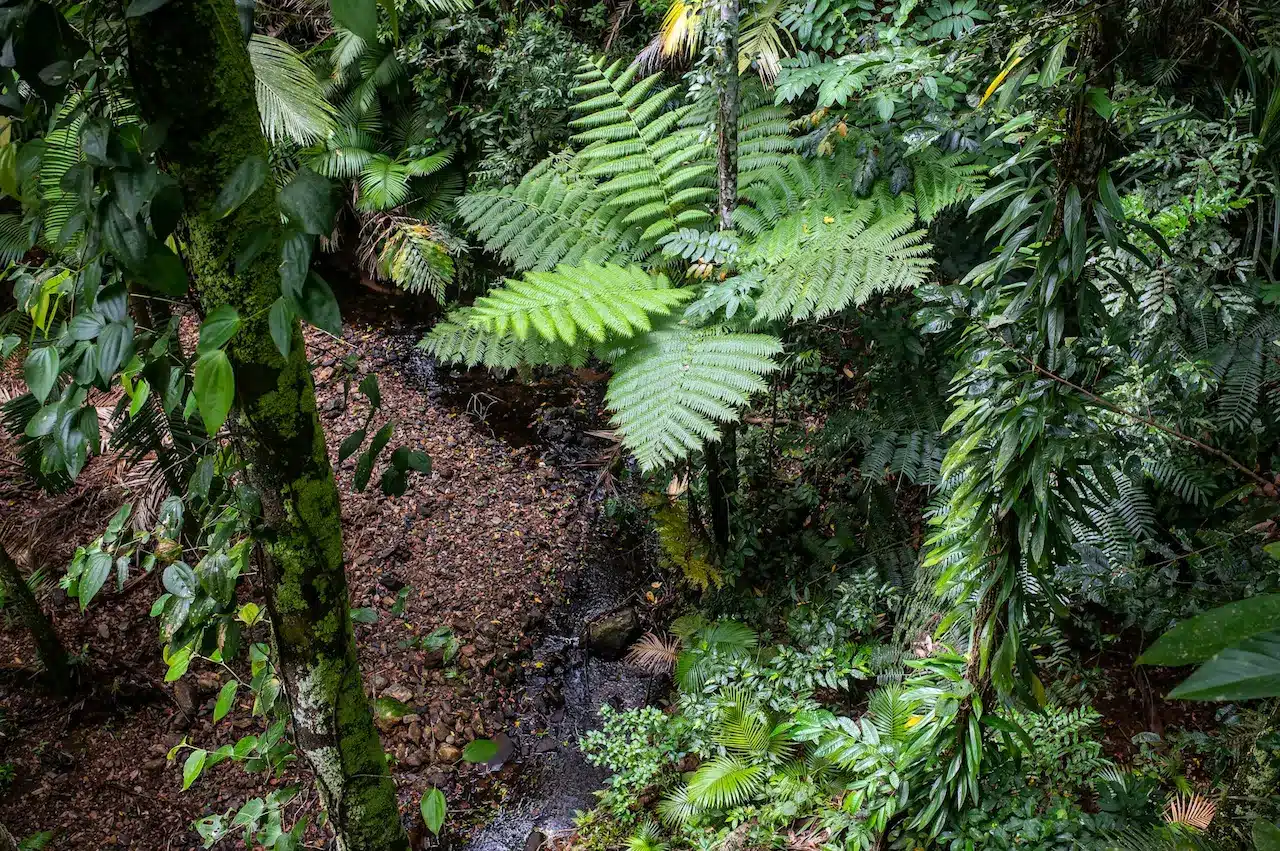
The Daintree Rainforest is the oldest continuously surviving tropical rainforest on Earth, dated at around 180 million years — older than the Amazon by some margin. It pre-dates the modern angiosperm explosion, which is why it’s home to so many primitive flowering-plant lineages and the highest concentration of these ancient families anywhere in the world. The Wet Tropics World Heritage Area protects a stretch of this forest, and the Wet Tropics Management Authority publishes a genuinely useful set of visitor briefings worth reading before you go. Cape Tribulation itself was named by Captain Cook in 1770 after his ship struck a reef offshore, beginning the tribulation that nearly ended the voyage. The reef in question is part of the outer Great Barrier Reef — the second World Heritage site — visible from the headland on a clear day.
The Daintree River is the boundary between everyday tropical Queensland and the cape’s very different rhythm. South of the river is sugar-cane and grazing country. North of the river is rainforest with no grid power and no mobile signal beyond the first kilometre. Take a Daintree River cruise before you cross — ninety minutes upstream from one of the boat operators near the ferry crossing. Estuarine crocodiles are abundant here, and the morning cruises see them basking on the banks routinely. It’s the calmest, safest way to see a wild saltwater crocodile in Queensland.
The cable ferry itself is short — six or seven minutes across — and is paid for in cash or card at the toll booth on the southern bank. Take the ticket; you’ll need it for the return.
The first stop past the ferry is the Daintree Discovery Centre at Cow Bay. It’s a privately run interpretive site with a long boardwalk loop, a forty-metre canopy tower, and one of the best audio-guided tours in any Australian national park — designed in partnership with the local Eastern Kuku Yalanji traditional owners. Allow two hours. After that, push north along the coast road through Thornton Beach (a wide quiet beach — no swimming, crocodile habitat), Cow Bay itself, and the Marrdja Boardwalk — a free thirty-minute boardwalk through both mangrove and rainforest. By the time you reach Mason’s Cafe at Cape Tribulation village, you’ll have crossed several of the best short rainforest walks in Australia.
Mason’s Cafe is the de facto pub, kitchen, fuel stop, and information centre of Cape Tribulation village. It’s a family-run business that’s been here since the seventies and is the only place to grab a counter meal at the cape itself. The Mason’s family also run guided rainforest walks — their dawn and night-walk tours are the local benchmark and the only practical way to see cassowaries and tree kangaroos in the wild on a short visit.
Behind the cafe, Mason’s Swimming Hole is a freshwater creek pool that, crucially, is one of the only swimming options in the entire Cape Tribulation region. The ocean is closed to swimming because of marine stingers in summer and crocodiles year-round; freshwater creeks are the alternative. Mason’s pool is signed, well established, and croc-monitored. Even so, follow the local rules — no swimming at dawn or dusk, no swimming alone.
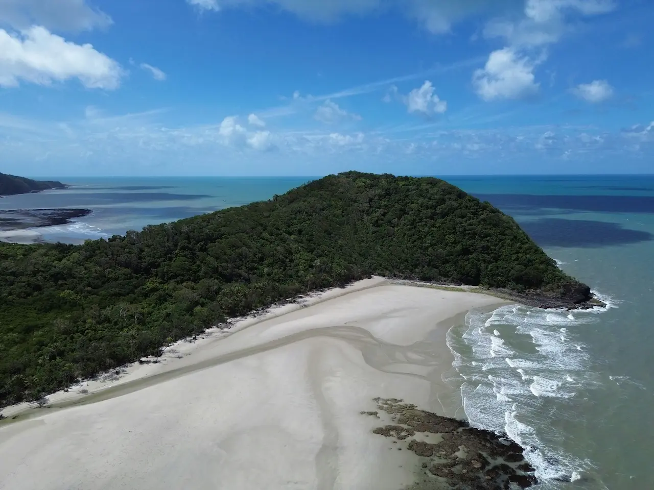
The cape proper is a short drive past Mason’s. Park at the Kulki day-use area for a five-minute boardwalk to the headland lookout, where the rainforest literally meets the sand and the reef sits offshore. The view north is empty wild coast all the way to the Bloomfield Track. Walk down onto Cape Tribulation Beach itself for a beach stroll — no swimming — and notice the cassowary droppings along the upper tide line. They patrol this beach. The Queensland Parks Daintree National Park page lists the current bird-and-croc activity briefings; check it on the day.
The two iconic species are the southern cassowary and the saltwater crocodile. Cassowaries are large, flightless, blue-headed rainforest birds and a critically important seed-dispersal species — if you see one with chicks at the road edge, stay in the car, do not approach, and let it cross. Crocodiles inhabit every estuary, every creek mouth, and most of the lower river systems. The local rule is simple: assume crocodiles are present in any body of water at the cape unless it’s clearly signed swim-safe. Other species you’ll likely encounter on a multi-day visit include the Boyd’s forest dragon, scrub turkeys (everywhere), Ulysses butterflies, and at night flying foxes, tree-frogs and the green-eyed tree-frog.
Accommodation at Cape Tribulation is intentionally low-impact. PK’s Jungle Village is the classic backpacker bar-and-bungalow setup, busy and social and friendly to younger travellers. There are a handful of mid-range eco-lodges and treehouses scattered between Cow Bay and the cape, most running on solar with overnight battery banks. There are also two campgrounds — one at Noah Beach (Queensland Parks, basic, beachfront, book ahead) and one private. There’s no five-star resort at the cape and that’s by design. If you want luxury, base in Port Douglas and day-trip the cape; if you want the real experience, stay one or two nights up here.
Beyond the cape, the Bloomfield Track runs another 80 kilometres north to Cooktown. It’s a strictly 4WD-only road — multiple steep concrete-cresting climbs, two tidal creek crossings that are impassable at high tide, and routine washouts in the wet season. Hire-car insurance almost always excludes this road for 2WD vehicles. Done in a hired 4WD with a checked tide chart, it’s a brilliant adventurous drive and opens up Wujal Wujal (the Bloomfield Falls Aboriginal community), Lions Den Hotel, and eventually Cooktown. We’d only recommend the Bloomfield Track to confident drivers in the dry season (May–November). The rest of the time, turn around at the cape, drive back via the ferry, and don’t feel like you’ve missed the better half — you haven’t.
The dry season (May–November) is the obvious window. Clear days, manageable humidity, the Bloomfield Track open, marine stingers absent from the open beaches (though crocodile rules still apply), and the rainforest still saturated enough to feel alive. The wet season (December–April) is dramatic but harder — cyclone risk, road closures, marine stingers, leeches on the rainforest walks, and intermittent ferry suspensions. We do go in the wet, and the rainforest at full flow with the cicadas at maximum volume is a singular experience, but it’s a second-visit trip rather than a first-time one. The shoulder months of May and November are our team’s favourites.
Long sleeves and long trousers for evening insect cover. Reef-safe sunscreen. Closed walking shoes. A torch (no street lighting). A printed map — mobile coverage drops out before you reach the cape itself and won’t come back until you re-cross the river south-bound. Some cash for the ferry, just in case. Insect repellent. A swimsuit for Mason’s. A camera with decent low-light capability for the rainforest interior. Snorkel gear if you’re booked on an outer-reef day boat — several operate from Cape Tribulation jetty out to Mackay Reef and beyond, which is a beautiful uncrowded alternative to the Cairns reef boats and is worth a day even on a short visit. Then if you have a spare day before your flight home, drive back via the Atherton Tablelands and treat yourself to a cool-climate finish in a country pub on the way down.
Live forecast from Open-Meteo. Updated each time the page loads.